City street with dense evening traffic between high-rises

Mobility & Transportation

Ground to Sky Mobility Intelligence

Unified visibility across all modes of movement — roads, transit, pedestrians, cyclists, drones, and aircrafts. AI-powered traffic monitoring, incident detection, and intelligent transportation management in one platform.
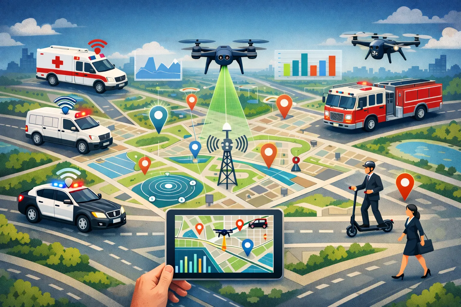
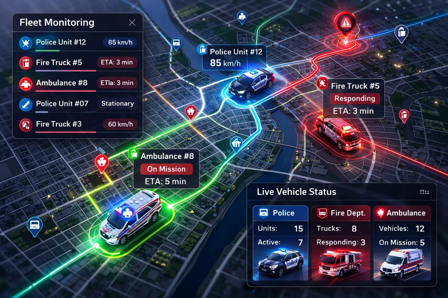
Smart city mobility — real-time tracking, emergency vehicles, and urban data analytics

Unified Mobility Capabilities

One platform to understand all movement across your jurisdiction

Ground to Sky Coverage
Unified visibility across all modes of movement — from street-level traffic to drones and aviation — in one connected view.
Road Traffic Analytics
Real-time traffic flow monitoring, congestion detection, and historical pattern analysis across your road network.
Transit & Fleet Operations
Track buses, rail, ferries, and municipal fleet vehicles in real time — live locations, routes, and on-time performance, with trip history for every vehicle.
Pedestrian Flow Analysis
Understand how people move through urban areas. Analyze foot traffic patterns, crosswalk usage, and accessibility.
Cyclist & Micromobility
Track bike lanes, bike-share programs, and scooter usage. Plan for complete streets and active transportation.
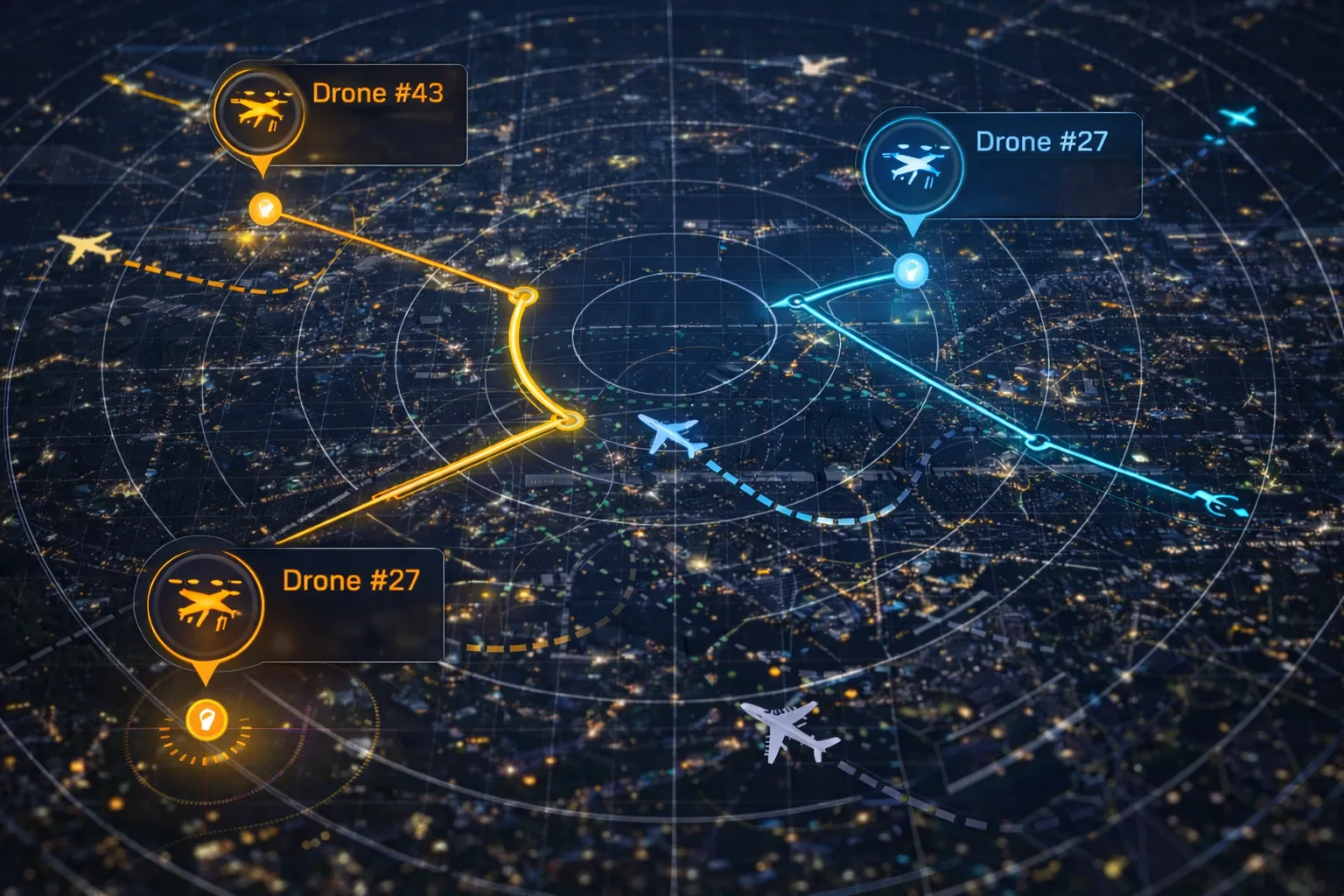
Drone & UAS Management
Map flight corridors, track UAS fleets, and manage airspace for infrastructure inspections and emergency response.

AI-Powered Traffic Management

Cutting-edge AI technology combined with proven traffic management expertise

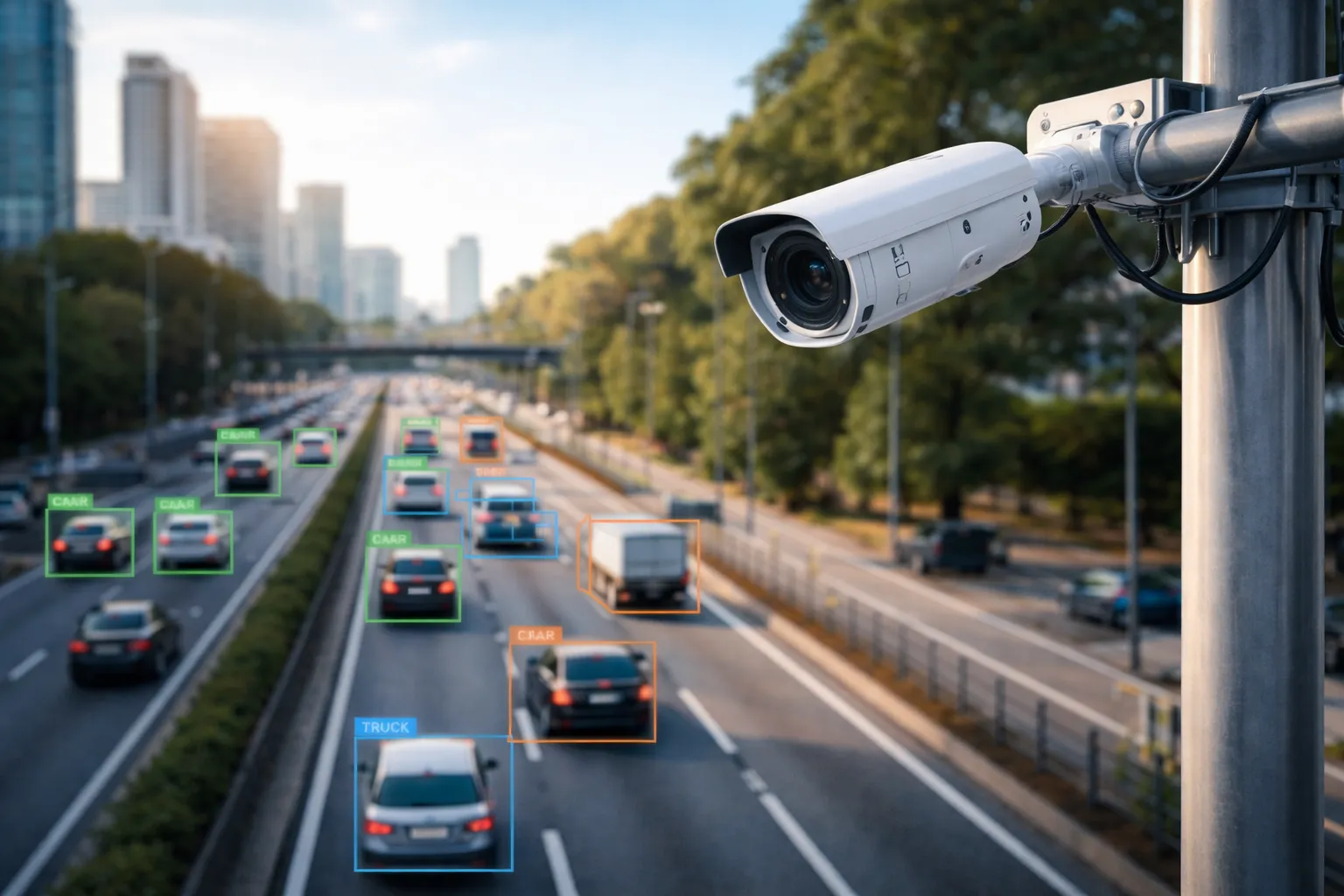
AI-Powered Video Analytics
Advanced computer vision that automatically detects traffic patterns, incidents, and anomalies in real-time without human intervention.
Real-Time Traffic Monitoring
Live surveillance of traffic conditions across your road network with intelligent analysis and predictive insights.
Historical Analysis
Deep insights from historical data to identify patterns, optimize signal timing, and inform infrastructure planning.

Every Mode, One Platform

Track and analyze all modes of transportation in a unified view

Roadway
  • Traffic flow monitoring
  • Congestion detection
  • Incident management
  • Signal timing analysis
Transit
  • Real-time vehicle tracking
  • On-time performance
  • Ridership analytics
  • GTFS integration
Pedestrian
  • Foot traffic patterns
  • Crosswalk analysis
  • Accessibility studies
  • Safety hot spots
Cycling
  • Bike lane usage
  • Bike-share tracking
  • Route analysis
  • Safety corridors
Drone/UAS
  • Flight corridor mapping
  • Fleet tracking
  • Airspace management
  • FAA compliance

Measurable Results

Real-world impact from agencies using our mobility and traffic solutions

60%
Faster Response
Instant incident detection enables emergency services to respond up to 60% faster.

Faster incident response

25%
Reduced Congestion
Data-driven signal optimization and traffic management reduce delays.

Reduction in travel time

40%
Improved Safety
Proactive monitoring and rapid incident response create safer roads.

Fewer secondary incidents

24/7
Lower Costs
Automated monitoring reduces staffing needs while increasing coverage.

Continuous monitoring

Mobility & Traffic Use Cases

How agencies are using unified mobility and transportation intelligence

Origin-Destination Analysis
Understand where people are coming from and where they're going. Analyze travel patterns across all modes.
Multimodal Corridor Planning
Plan complete streets that work for all modes — vehicles, transit, bikes, and pedestrians together.
Traffic Management Centers
Centralized monitoring and control of traffic across your entire road network with real-time analytics.
Highway & Freeway Operations
High-speed corridor monitoring with incident detection, lane control, and traveler information.
Historical Trends & Planning
Combine historical mobility patterns with land-use and development changes over time — including satellite-tracked construction — to forecast demand and inform long-range planning.
Work Zone Safety
Monitor work zones for queue detection, speed compliance, and incident alerts.
Emerging Technology

Drone & Aviation Integration

Stay ahead with emerging mobility modes. Our platform is ready for drones, urban air mobility, and the future of transportation.

Drone/UAS Operations
  • Flight corridor mapping and management
  • UAS fleet tracking for inspections
  • Emergency response drone deployment
  • FAA regulatory compliance tracking
Urban Air Mobility
  • Vertiport planning and siting
  • Airspace deconfliction planning
  • Ground transportation integration
  • Future mobility readiness

Live Map Layers

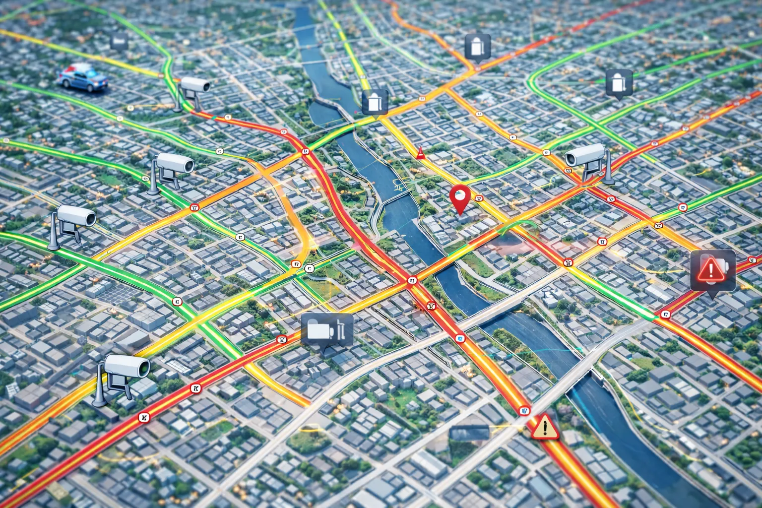
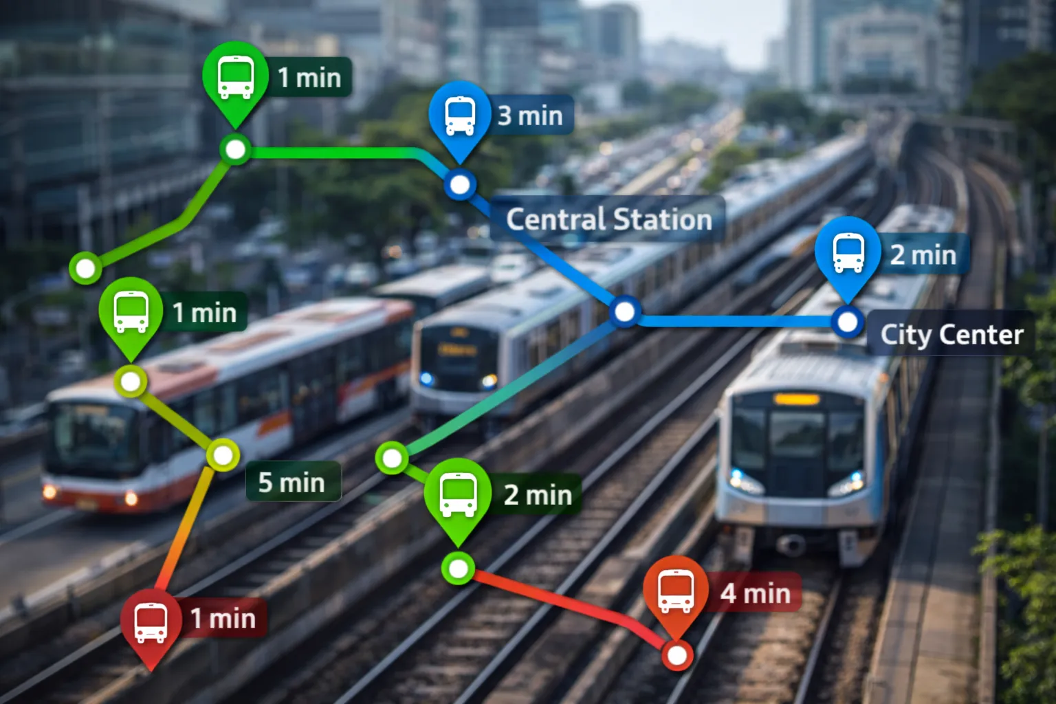
Every mobility layer you need to see your jurisdiction move in real time — all togglable in one unified view.
Roads
Roads
Real-time traffic flow, speed, and congestion. It also includes live parking and EV charging availability
Transit
Transit
Bus and metro positions updated in real time with schedule adherence data.
Fleet Vehicles
Fleet Vehicles
Track all your fleet — plows, parks, construction and maintenance vehicles — on a live map.
Cameras
Cameras
Live feeds powered by AI to auto-detect congestions, incidents and violations.
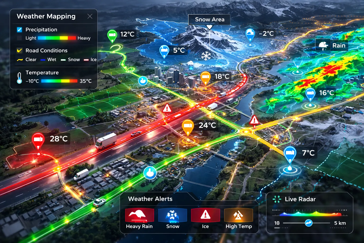
Weather
Weather
Hyperlocal weather overlays — precipitation, wind, temperature — for operational planning.
Drones
Drones
UAS and aircraft positions, flight corridors, and airspace awareness in one layer.

Ready for Unified Mobility Intelligence?

See how a ground-to-sky view of mobility can transform your transportation planning and operations


Maryland Minority Business Enterprise (MBE) certifiedMaryland Small Business Reserve (SBR) certified

Maryland MBE Certified · Small Business Reserve

NAICS 541512 · 541511 · 513210UEI M1P8BAERJHY1CAGE 1ZXC0DUNS 144996781